Aughaval Killeennacoff Walk in Co. Mayo
This 5km walk, suitable for all family, makes a circuit of Killeenacoff Hill. The road twists and turns around the folds of the hillside.
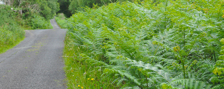
The hill is covered with birch, hazel and brightly yellow coloured gorse in great abundance and the landscape is peaceful and relaxing.
Take the N59 from Westport, cross the old railway bridge and turn right onto the West Road. After 3 km watch out for Aughaval Cemetery on the left and turn left off the main road. Here you can park your car just outside the graveyard.
Now leave the West Road, keep left and past the graveyard. The small road runs along the Owenwee River and winds its way uphill. It commands superb views of Croagh Patrick and Rossnagloch Valley.
Now the way sweeps down leaving the mountain view behind and then, when it forks, keep right and cross a narrow and delightful bridge over the Owenwee River.
Now you can see the little village of Killeenacoff and its cottages scattered around. Nowadays many of them are ruined.
In the landscape the old potato ridges, called ‘lazy beds’, are still visible. Potatoes were often grown in this way, until the potato blight caused the Great Famine.
Follow the road and reach a T-junction, here turn right and pass the Cloona Health Centre on the left. Turn left and you will have spectacular views of Clew Bay and the islands.
At next T-junction turn right and reach the main Westport-Louisburg road. Here turn right and you arrive back onto the West Road and to Aughaval Cemetery.
DID YOU KNOW?
Aughaval (in Irish an Nuachongbhail) means the New Foundation. This graveyard once belonged to a large and important monastery dating back to the 11th century.
According to legend here was a cursing stone, called “Leac Cholumbcille’, which was used to wish bad luck on enemies. In the graveyard there is another interesting stone ‘Gloonpatrick or Patrick’s Knee’.
The stone has a round hollow, where it is said the Saint knelt.


