Porturlin Loop in Co. Mayo
Porturlin Loop starts and finishes at Porturlin Pier, a sheltered fishing harbour.
It is a moderate 11km long spectacular cliff walk and it takes approximately 3 hours.
After the last house the actual track begins at a gate on the left.
After 300m the path rises sharply for 500m and reaches a view point which offers stunning views of this ancient coastline from Benwee Head to Downpatrick Head, including Pig Island with its distinctive arch and many other stags.
The path follows the line of the cliffs and reaches its highest point at 229m. From here the Stags of Broadhaven come into view.
The coast is rugged and rich in bays, coves and inlets. Then Portacloy Bay comes into view, from here the track bears south-east and descends to Greanai River. It continues until it reaches the road which leads back to Porturlin Pier.
DID YOU KNOW?
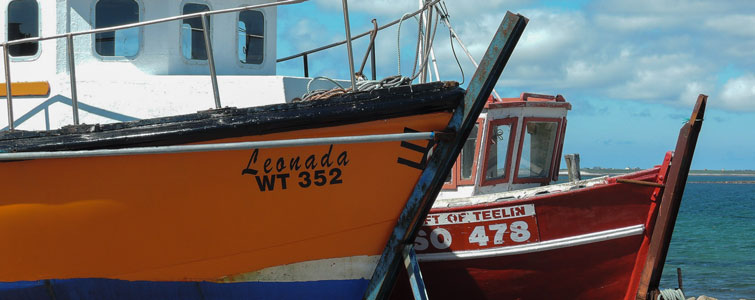
PORTURLIN PIER
Porturlin Pier was built in 1886 and, at the very beginning, it was only a landing slip.
In 1894 a fishing curing station was established here. This harbour was more sheltered than the others in the area and offered a better access to the sea.
The present pier was built in 1956 and modernised in 1965-66. Mackerel, herring, salmon, cod and pollock were the main catches.
Also fishermen used to catch lobsters and crabs with lobster pots made of heather called in Irish “potai fraoigh”.
Their boats were the “currachs” built locally. Nowadays diesel engine boats have replaced the traditional currachs.
The harbour dries out with the tide and boats strand at different angles. Walkers can stroll among them and take interesting snaps.